


Sub-zero temperatures and wintry showers are in store for this week as Arctic conditions set in across Ireland and the UK.
A cold, polar maritime air-mass is set to bring widespread wintry showers and winds throughout this week. Up to 6 inches of snow could be settling on the hills.
Met Eireann have issued a Status Yellow snow-ice warning for Donegal, Connacht and the Midlands from Tuesday 16th January at 6am to Wednesday 17th January at 3am.
A Status Yellow wind warning is also in place for Donegal and the West from tonight at 9pm until Wednesday at 3am.
Strong and cold artic winds are due to hit Ireland and the UK, with frequent hail and snowfall forecast over three days.
Forecasters have said that snow accumulations could reach 15cm or more on higher ground, and 2-8cm on lower levels.
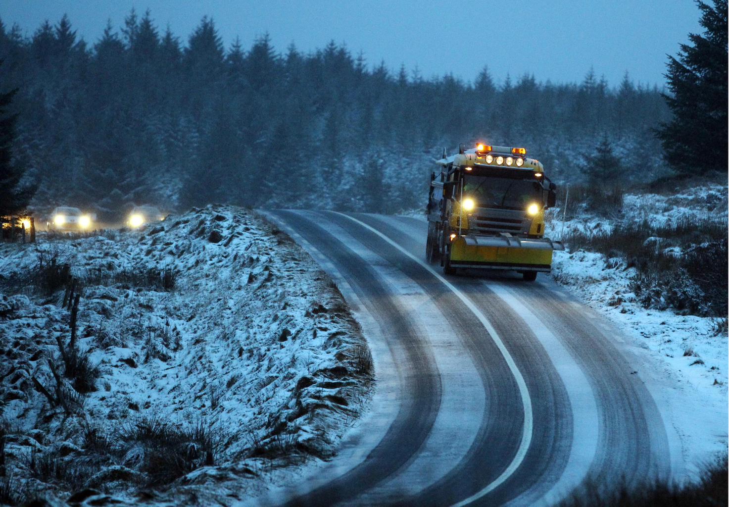
There is a possibility of travel disruptions and a small risk of power outages with the incoming air mass.
Rain showers tonight (Monday) will be heavy with a risk of hail and sleet, while strong and gusty winds may lead to coastal flooding today and tomorrow, Met Eireann said. There will be lows of 0 to 3 degrees Celcius.
Tueday will be a bitterly cold day and night with temperatures rising no more than 4 degrees Celcius.
Motorists should check gritting routes with Donegal County Council later today and assume no road is ice free during cold conditions.
Tags: