Donegal Daily
  • News
  • Sport
  • Courts
  • Jobs
  • Business
  • Lifestyle
  • Travel
  • Politics
  • Features
  • Donegal County Council News
Wednesday 20°CThursday 20°C

Donegal Daily Donegal Daily

sponsor banner
sponsor banner
  • News
  • Sport
  • Courts
  • Jobs
  • Business
  • Lifestyle
  • Travel
  • Politics
  • Features
  • Donegal County Council News
News

URGENT WEATHER WARNING: DONEGAL ROADS IN TREACHEROUS CONDITION

written by admin February 4, 2013
FacebookTweetLinkedInPrint
N56 AT ILLISTRIN COVERED IN ICE AND HAIL - DONEGALDAILY.COM

N56 AT ILLISTRIN COVERED IN ICE AND HAIL – DONEGALDAILY.COM

DONEGAL drivers are being warned of treacherous conditions on many roads overnight.

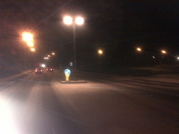
Hail and snow showers have covered salt laid down on main roads by gritters from Donegal County Council earlier.

Earlier there were long tailbacks on the N56 from Letterkenny to Gaoth Dobhair as traffic was reduced to less than 20km/hr.

With further hail and snow showers expected overnight, Gardai and AA Roadwatch are warning of dreadful conditions in many areas.

It follows storms earlier in the day which knocked out power to hundreds of homes across the county, with the worst hit areas in Killybegs and Ballyshannon.

Shortly before 11pm a new weather warning was issued by Met Eireann for the next 24 hours for Co Donegal.

Damaging wind gusts of 130km/hr are expected on Tuesday.

There were also lightening storms over Ballyshannon and Bundoran as well as Fanad and Inishowen.

Peter O’Donnell from The Meteo Times says more of hail and snow is on the way.

Here’s what he says about Tuesday: Very windy and cold with mixed wintry showers of hail, sleet and snow (accumulating to 3-7 cm on some northern hills) with west to northwest gale force winds 80-120 km/hr, and temperatures steady in the 2-4 C range possibly dropping to 0-2 C where snow accumulates. The rain-snow line will rapidly fall to about 150m or lower and some of the passing squally showers could be thundery with large hail or snow. Blizzard-like conditions may develop in higher sections of the north and occasionally may appear almost anywhere as strong convective showers move rapidly across the country. The sun may come out briefly between these heavy showers. It will feel exceptionally cold in the wind and conditions may become severe for livestock in higher elevations especially. By afternoon and evening, a somewhat less severe interval with temperatures 4-6 C will turn most of the showers back to rain except on highest elevations, but the wind will continue very strong from the northwest. This feature will appear in the north first and Munster could see intervals of snow before it arrives there about sunset.


URGENT WEATHER WARNING: DONEGAL ROADS IN TREACHEROUS CONDITION was last modified: February 5th, 2013 by admin
FacebookTweetLinkedInPrint

Tags:
Donegal DailyURGENT WEATHER WARNING: DONEGAL ROADS IN TREACHEROUS CONDITIONweather
admin

LEAVE A COMMENT

You may also like

Glenties resident passes away in her 106th...

2 hours ago

Donegal gets €1.7M increase in house adaptation...

2 hours ago

Stock up and SAVE on fresh fruit...

3 hours ago

‘Union representation is vital for Donegal firefighters’...

4 hours ago

Housing Minister urged to produce better scheme...

5 hours ago

Family’s guest tea raises €2,500 in memory...

5 hours ago

Notorious Letterkenny teen with almost 90 convictions...

6 hours ago

Minister McConalogue attends first Sports Council in...

6 hours ago

Twin Towns men who got into confrontation...

7 hours ago

Letterkenny man who gave Gardai ‘the fingers’...

7 hours ago
Advertisement
Advertisement

Donegal County Council

Facebook
Donegal County Council
Advertisement
Advertisement
Donegal Daily Jobs

Read More

  • News
  • Sport
  • Courts
  • Jobs
  • Sales & Services
  • Obituaries
  • Features
  • Business
  • Politics
  • Council News

Information

  • Contact Us
  • About
  • Advertise WIth Us
  • Privacy Policy
  • Disclaimer
  • Terms & Conditions

Our Sites

Donegal Woman
Donegal Woman
Donegal Daily

© 2025 Donegal Daily. All rights reserved.
Website by owenod


Back To Top.

We use cookies to ensure that we give you the best experience on our website. If you continue to use this site we will assume that you are happy with it.OkPrivacy policy