


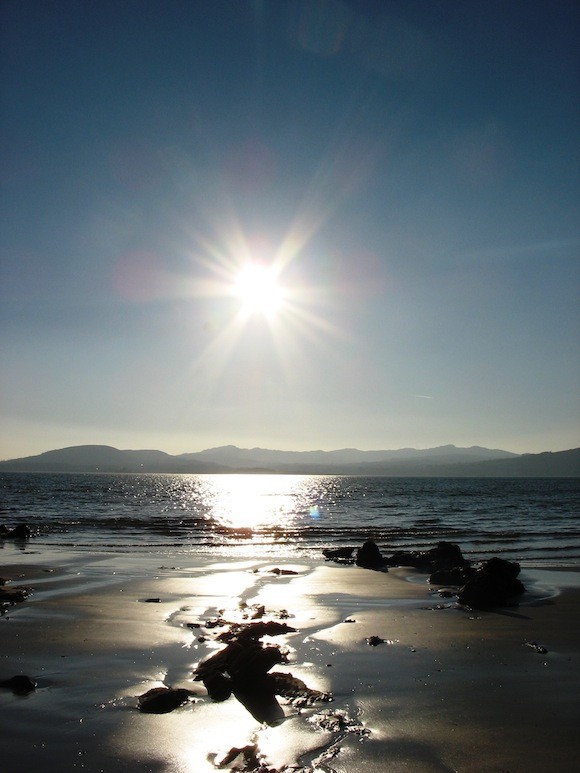
Sunshine at Buncrana by Chris Plummer
DONEGAL will shake off the final drizzle this weekend – and will be basking in temperatures up to 25C by the middle of next week.
It’s more than week after forecasters had hoped.
But it is DEFINITELY on the way this time, says Met Eireann.
“The rest of the country will start to see fine weather from Friday but there is a low front which will spoil things in the North West for a time,” said a spokesman.
“We think that will shift over the weekend with the warm weather spreading from the south to Donegal by Sunday and into Monday.
“It will be very very warm this week and it looks as if it will last at least a week if not much longer.
“Like a lot of forecasters we have been waiting for this and it has finally arrived.”
Below is the full Met Eireann forecast
OUTLOOK: Becoming even warmer with temperatures on average rising to between the low to mid 20’s (even higher into next week). High pressure will dominate well into next week ensuring predominantly dry weather with just gentle breezes; variable cloud cover to begin this weekend (risk of sea fog feeding into some Atlantic fringes) however sunny skies should develop more widely into next week.
FRIDAY NIGHT: Most areas will be dry with clear spells; cloudier however near Atlantic fringes with the risk of little mist or drizzle. Relatively mild with lowest temperatures of 8 to 12 degrees Celsius; values falling lowest further east. Winds will be just light southerly, a little fresher closer to coastal districts.
SATURDAY: Most areas will see a dry day with variable cloud cover across the country; brightest across the eastern half of the country. However a weak weather front will feed in rather dullish skies to the west and northwest, with the likelihood of a little rain here (amounts fairly small though). Afternoon temperatures will rise to between 20 and 23 degrees Celsius over much of Munster, Leinster, the midlands and east Ulster. Elsewhere (the northwest, west and perhaps the far southwest of Munster) values will be somewhat lower ranging 15 to 18 degrees Celsius. Southwest winds will be no more than light to moderate in strength.
SUNDAY: Dry across most if not all of the country in near calm conditions. Again variable cloud is expected; cloudy in parts to begin but warm spells of hazy sunshine should manage break through. Highest temperatures will typically range 20 to 24 degrees Celsius; best values across the south of Munster and the south of Leinster; sea breezes however will keep temperatures a little lower closer to the coast.
MONDAY: Even warmer with good spells of sunshine for the main part (sunniest further east). Again staying dry with temperatures rising to between to low to mid 20’s. Winds will be just light easterly.
Present indications suggest the very warm and settled spell will hold well into next week; and where it may be a little dull (though warm) in parts to start off this weekend, sunnier skies are more likely to dominate through the week ahead.
Tags: