


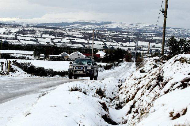
A new snow and ice warning has been issued for Donegal as more wintry weather is due in the next few days.
Donegal remains on a yellow snow/ice alert until midday Thursday, as hail, sleet and snow are all set to continue in the north west.
There is a risk of ice and snow accumulations over high ground, according to Met Eireann.
Temperatures will remain below average throughout the week, with highs of just 4 – 7C today.
Frost and icy stretches with patchy lying snow to begin today. A cold and bright day will follow, with sunny spells and scattered showers. The showers mainly a mix of rain, hail and sleet, but snow showers still possible in the north and northwest. Highs of just 4 to 7 degrees. pic.twitter.com/5vdFmtVS8S
— Met Éireann (@MetEireann) February 26, 2020
Temperatures will plunge again tonight to freezing levels and lows of -2C. Further snow showers are expected, leading to frost and icy conditions with lying snow.
Conditions will become “noticeably milder” on Friday before an unsettled weekend.