


There’ll be some bright or sunny spells today, the best of these in the morning when it will become mostly dry for a time as the overnight rain clears.
It will turn cloudier during the afternoon and evening with outbreaks of rain, sleet and hill snow. Highest temperatures of 4 to 6 degrees with west to northwest winds decreasing light to moderate.
Clear spells and some showers overnight, the showers most frequent in the north. Some falls of sleet or snow are likely.
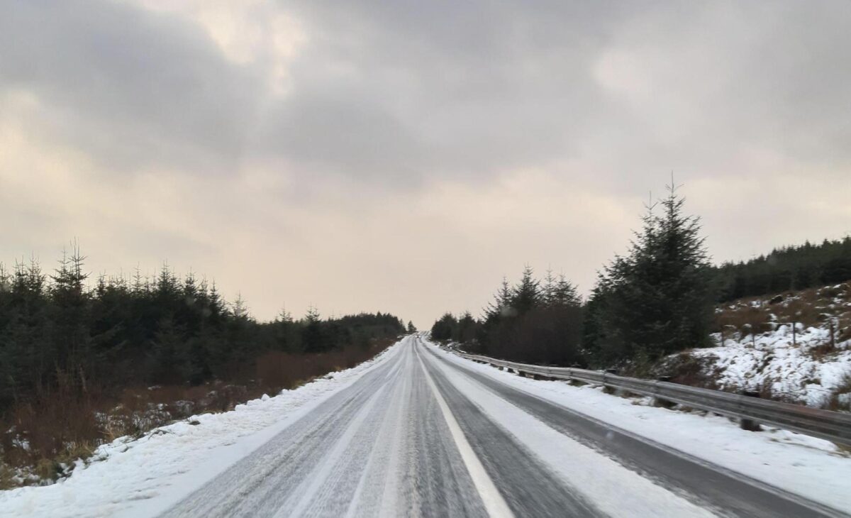
Widespread frost will form with ice on untreated surfaces. Lowest temperatures of -4 to -1 degrees. Pockets of freezing fog will also form in very light winds.
Met Éireann said it will turn cold across the country between Sunday evening and Thursday morning as an Arctic airflow becomes established, bringing sharp to severe frosts and icy stretches on roads and footpaths.
Some showers of hail, sleet and snow are expected with the potential for freezing fog.
Further low temperatures are also forecast on Monday night into Tuesday morning, with pockets of freezing fog in some areas and lows of -3 or -4C.
Average temperatures over the next week are forecast to be slightly below normal for January.
Tags: