


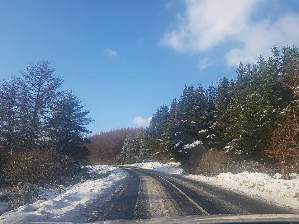
Donegal is experiencing a mild Sunday, however, freezing temperatures and snow are set to return over the coming days.
Met Éireann has forecast widespread showers or longer spells of rain tomorrow, with a chance of isolated thunderstorms and hail over the south of the country.
Highest temperatures will range from 8C to 12C, but as the winds veer northerly through the morning and in the afternoon temperatures will drop to between 3C and 6C. The showers may turn wintry over north-western hills during the evening as northerly winds increase.
Monday night will be very cold in light to moderate northwest to west winds. There will be showers feeding from the northwest and some may fall as sleet or snow in places. Lowest temperatures will drop to between -2C to 1C generally.
Met Éireann said it will remain cold on Tuesday with highest temperatures of 4C to 8C degrees, in a severe moderate to fresh northwest wind. There will be a mix of sunny spells and scattered showers, especially early in the day, and there is the potential for showers to fall as sleet or snow, especially over higher ground.
It will turn very cold again on Tuesday night, under mostly clear skies early on. Temperatures will rise in the southwest as cloud increases. Rain, preceded by some sleet or hill snow for a time, will gradually push into the southwest and west towards morning. Lowest temperatures of -3C to 2C are expected and it will be coldest in Ulster.
The forecaster said Wednesday will be a cold and wet day with rain tracking up across the country from the southwest. The rain will be preceded by sleet and possibly some snow in places, especially over the northern half of the county. Highest temperatures will range from 1C to 4C degrees across the north of the country but it will be milder in the south with afternoon highs of 5C to 9C.
Showery outbreaks of rain will continue overnight on Wednesday but they will clear to the southwest by morning. It will turn into a much milder night generally with lows of 5C to 10C.
After a wet start over much of the country, outbreaks of rain will clear to the north by Thursday afternoon. Showers and some sunny spells will follow from the west. It will be a much milder day overall with highest temperatures 11C to 15C.
“While a lot can change between now and then, St Patrick’s day looks to be fairly cloudy and damp, mildest in the southern half of the country with temperatures of 10C to 14C, but more typically 7C to 9C in the northern in light to moderate southeast to east winds,” Met Éireann said
“It looks to remain changeable then over the weekend, quite cloudy with rain at times, but generally quite mild.”
Tags: