


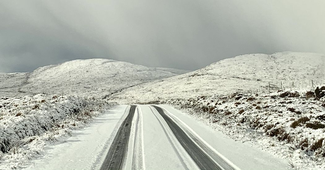
There could be a chance of a white Christmas for the north west, it is being reported.
Met Éireann is forecasting dry weather for the coming days but it will turn colder and more unsettled over Christmas with a chance of snow in some parts of the country.
High pressure will continue to keep the weather settled and largely dry through this weekend and into the early days of Christmas Week.
However, the national forecaster said there are some signs of more unsettled weather from mid-week onwards which could lead to colder conditions over Christmas weekend.
Met Éireann meteorologist, Deirdre Lowe, told today’s Irish Independent: “Most of us will enjoy a spell of dry and quiet weather in the lead up to Christmas, it’ll be fairly cloudy though and some spots will see a little patchy mist or drizzle in thicker cloud.
“It’ll turn a bit colder over the weekend too, with daytime temperatures around 6C to 9C.
“It’ll stay fairly cloudy during the nights which should keep frosts at bay, though the odd patch of frost can’t be ruled out where clearer skies develop,” she added.
This settled weather will continue into the early days of next week, although it is expected that the high pressure will gradually break down from around mid-week onwards.
As a result, the weather will turn more unsettled as Christmas Day approaches.
The national weather service said, while there is a good deal of uncertainty in the forecast, there are some signs of colder air being dragged across the country over Christmas weekend.
“It’s still too early to say with certainty what weather we can expect on Christmas Day.
“At the moment it looks like the current blocking high pressure will be replaced by low pressure, increasing the chance of unsettled weather.
“There’re also some early signs of a possible cold spell over the Christmas period but it’s still very uncertain, so keep an eye on the latest Met Éireann forecast,” Ms Lowe said.
White north west
Meanwhile, Alan O’Reilly from Carlow Weather, said the low pressure system could bring falls of snow to parts of the north and northwest.
In a post on Twitter he wrote: “Weather models show dry settled weather for most up to Wednesday but after that is uncertain.
“There is a trend to colder weather but just how cold is the question. The scatter in lines shows the uncertainty. You can still dream of a white Christmas, there still is a chance,”
“Latest ECMWF (European Centre for Medium-Range Weather Forecasts) shifts cold a little north but that results in heavy snow in the north and northwest on Christmas Day. However GFS (Global Forecast System) shows no snow, so it’s still wait and see,” he added.
Tags: